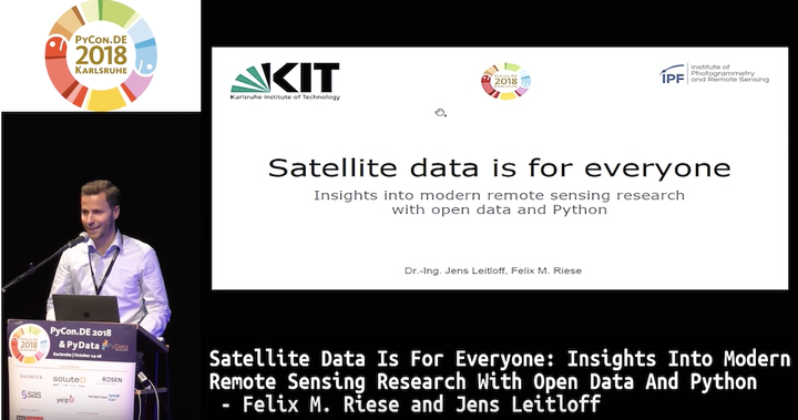
Satellite data is for everyone: insights into modern remote sensing research with open data and Python
 Screenshot from the Youtube video
Abstract
The largest earth observation programme Copernicus (http://copernicus.eu) makes it possible to perform terrestrial observations providing data for all kinds of purposes. One important objective is to monitor the land-use and land-cover changes with the Sentinel-2 satellite mission. These satellites measure the sun reflectance on the earth surface with multispectral cameras (13 channels between 440 nm to 2190 nm). Machine learning techniques like convolutional neural networks (CNN) are able to learn the link between the satellite image (spectrum) and the ground truth (land use class). In this talk, we give an overview about the state-of-the-art land-use classification with CNNs based on an open dataset. — We use different out-of-box CNNs for the Keras deep learning library (https://keras.io/). All networks are either included in Keras itself or are available from Github repositories. We show the process of transfer learning for the RGB datasets. Furthermore, the minimal changes required to apply commonly used CNNs to multispectral data are demonstrated. Thus, the interested audience will be able to perform their own classification of remote sensing data within a very short time. Results of different network structures are visually compared. Especially the differences of transfer learning and learning from scratch are demonstrated. This also includes the amount of necessary training epochs, progress of training and validation error and visual comparison of the results of the trained networks. Finally, we give a quick overview about the current research topics including recurrent neural networks for spatio-temporal land-use classification and further applications of multi- and hyperspectral data, e.g. for the estimation of water parameters and soil characteristics.